Information about products
Spatial Information System (ZPL) consists of several products:
Information page:
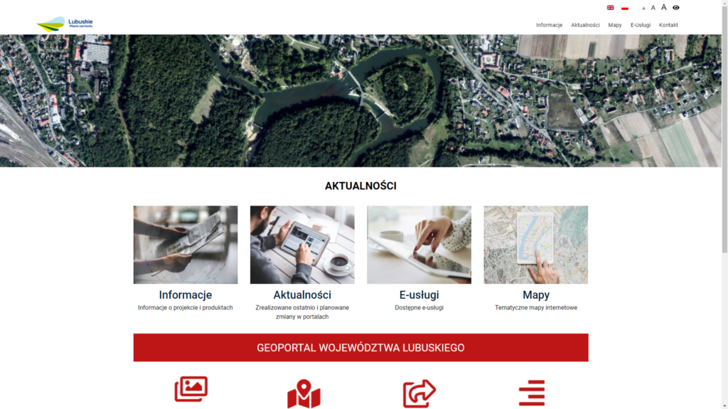
The information page is a basic source of news regarding the entire Spatial Information System (ZPL). Used to post information and current news on the project, maps of maps or services. In the “Maps” tab there are all available to users that represent data in the form of thematic maps. The site also allows quick access to e-services that are shared by project partners.
Map portal
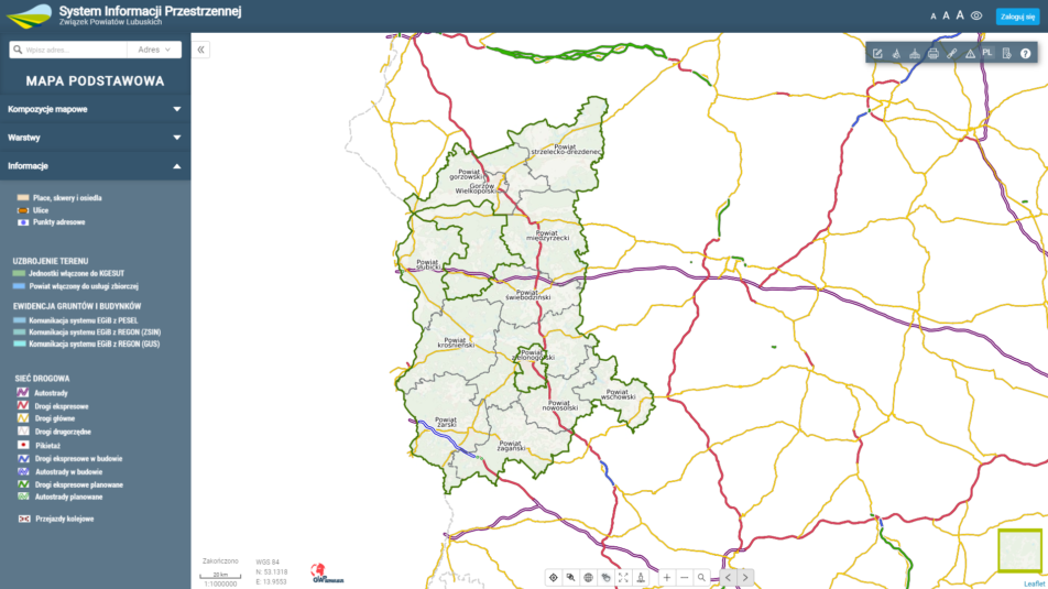
Map portal is the main tool for viewing spatial data displayed in the form of thematic maps. The basic element of the portal is the side panel, located on the left, in which there are: search engine (addresses and plots), map compositions available for selection , tab containing a layers of a given composition and a tab containing basic information about the composition. In addition, the portal has basic, necessary tools for navigation on the map and additional advanced tools for example, for example, change of map foundation, create notes, measure objects and terrain, map print, save map view, object identification or create new investment objects. Please note that the map generated on the portal are only illustrative and can not be treated as an official document.
Metadata portal
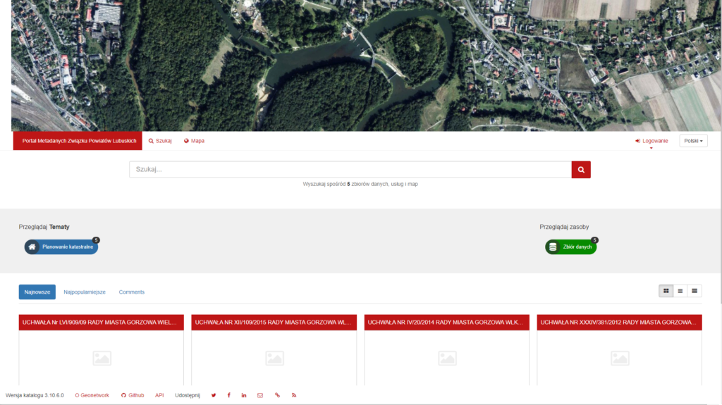
The metadata portal was created to search for specific data sets. This is a page for resource management with spatial references, which provides advanced editing and metadata search functions, and also has an interactive web map browser. Portal provides an easy to use interface to search geospatial data in multiple directories by name, keywords, types of resources, topics, contact information, data formats, scale, age and frequency of updates. Thanks to this, users can easily narrow the search and quickly reach interesting records.
Data ostatniej zmiany: May 28th, 2021 12:48:09